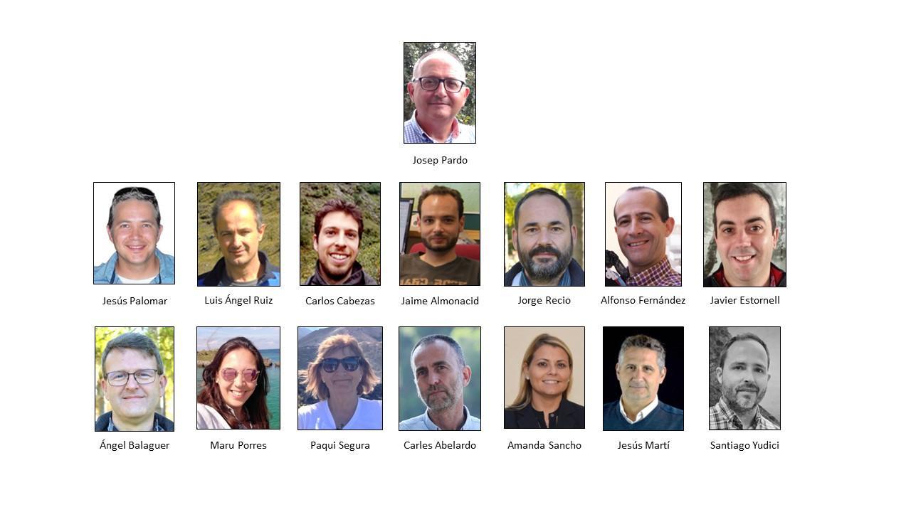
Josep Eliseu Pardo Pascual (IP1)
Institution: Universitat Politècnica de València
Category: Professor
Mail: jepardo@cgf.upv.es
Jesús Manuel Palomar Vázquez (IP2)
Institution: Universitat Politècnica de València
Category: Senior Lecturer
Mail: jpalomav@upvnet.upv.es
Luis Ángel Ruiz Fernández
Institution: Universitat Politècnica de València
Category: Professor
Mail: laruiz@cgf.upv.es
Amanda Sancho García
Institution: Universidad Católica de Valencia
Category: Senior Lecturer
Mail: amanda.sancho@ucv.es
Alfonso Fernández Sarría
Institution: Universitat Politècnica de València
Category: Senior Lecturer
Mail: afernan@cgf.upv.es
Ángel Balaguer Beser
Institution: Universitat Politècnica de València
Category Senior Lecturer
Mail: abalague@mat.upv.es
Javier Estornell Cremades
Institution: Universitat de València
Category: Senior Lecturer
Mail: jaescre@cgf.upv.es
Jesús Martí Gavilá
Institution: Universitat de València
Category: Senior Lecturer
Mail: jemarga@upv.es
Jorge Abel Recio Recio
Institution: Universitat Politècnica de València
Category: Senior Lecturer
Mail: jrecio@cgf.upv.es
María Joaquina Porres De la Haza
Institution: Universitat Politècnica de València
Category: Senior Lecturer
Mail: mporres@cgf.upv.es
Jaime Almonacid Caballer
Institution: Universitat Politècnica de València
Category: Senior Lecturer
Mail: jaialca@upvnet.upv.es
Carles Abelardo Sanchis Ibor
Institution: Universitat Politècnica de València
Category: Technician
Mail: csanchis@hma.upv.es
Carlos Cabezas Rabadán
Institution: Universitat Politècnica de València
Category: Technician
Mail: carcara4@upv.es
Santiago Yudici Oliver
Institution: Institut Cartogràfic Valencià
Category: Subdirector
Mail: yudici_san@gva.es